ShopDreamUp AI ArtDreamUp
Deviation Actions


Suggested Deviants


Suggested Collections


You Might Like…


Description
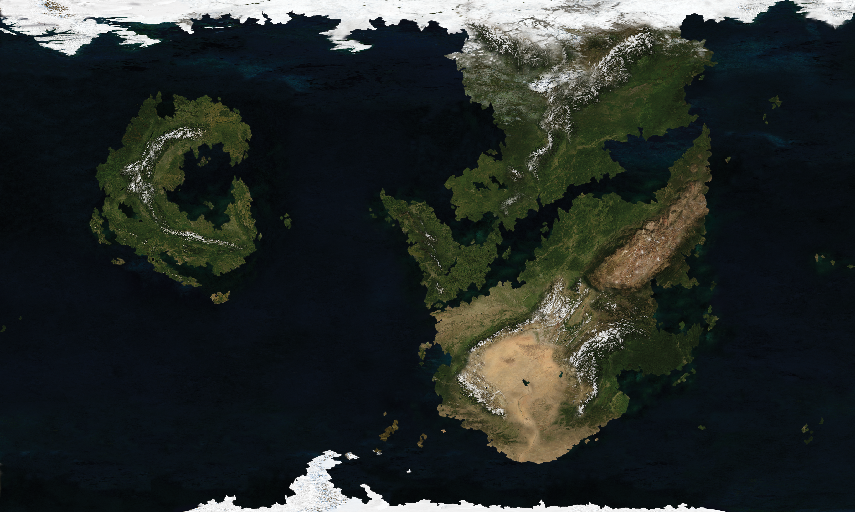
Satellite map of Raythe made with Photoshop using NASA's Blue Marble maps.
Raythe Wiki
Territorial History
Raythe Wiki
Territorial History
Image size
3254x1951px 18.18 MB
© 2016 - 2024 manomow
Comments2
Join the community to add your comment. Already a deviant? Log In
I remember attempting something like this a few years back, but you did a much better job than I could. The detail is impressive and seamless.